Project title
Integrating watershed management based on indigenous knowledge along the Bio-Watershed of Kampar District
Policy paper summary
Pangkalan Kapas in the Power Grip Of Presidential Regulation On National Strategic Area
(Case Study Kenegerian Pangkalan Kapas, Subdistrict Kampar Kiri Hulu)
Preliminary
National Strategic Area is an area which priorities regulated in spatial due to importance in influencing nationally against the sovereignty of the state, national defense and security, economic, social, cultural, and / or the environment, including areas that have been designated as world heritage.[1] National Park of Bukit Tiga Puluh and Protected Forest of Bukit Batabuh have been designated as one of the National Strategic Area in Government Regulation number 26 in 2008.[2] In its drafting process the area has been expanded until Wildlife reserve Bukit Rimbang Bukit Baling.
Methodology
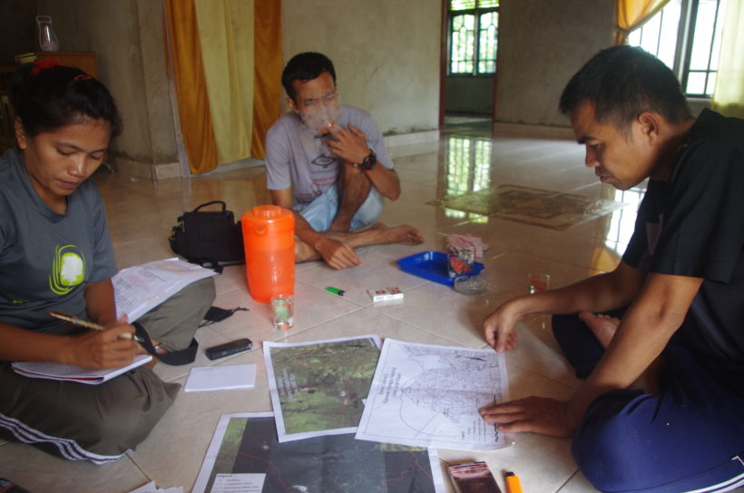
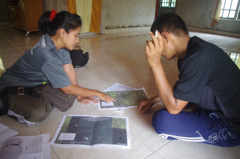
Yayasan Hutanriau conduct an analysis on the document of National Strategic Area of Bukit Tiga Puluh and Bukit Batabuh based on the data which is used in drafting the Presidential Regulation Plan. The analysis conducted by overlaying the data based on land use criteria of the forest and the spatial patterns in applicable regulation. To view more detailed issues, the analysis is limited to four (4) villages in Kenegerian Pangkalan Kapas, Sub-district Kampar Kiri Hulu.
Conclusion
From our findings, the source of the data that been used in the draft Presidential Regulation documents cannot be identified. The methodology in generating spatial map pattern of National Strategic Area also cannot be found.
Spatial map pattern that has been produced is not the same with the maps of the forest area, thus making it potentially legal dispute and the Presidential Regulation that has been endorsed cannot be implemented effectively. Moreover, administration data of Sub-district Kampar Kiri Hulu is not valid, so this will implicate on the delineation of the buffer zone.
There is also unfinished policy conflict between forest area function with Provincial Spatial Plan. In practice there has been a change in the function of the forest area since 1985 until 2014 without documents of analysis that shows any significant changes in policy making. In the forest areas that already have legal certainty, there are twenty four (24) definitive villages which require specific adjustment.
Status of the forest area in Sub-district Kampar Kiri Hulu is Native Customary Forest (of Indigenous people) but it has not been recognized by the government until to date. There are eleven (11) Native Customary Land within the area. Meanwhile based on the analysis of the forest land there is a considerable differences for the function of forest area by Ministerial Forestry decree no. 878, 2014. Towards these differences, we need to propose some changes for the functions and land use for the forest areas, the proposal are as follows:
- In Tanjung Permai village, we would like to propose the change of functionality from APL[3] to HL[4] area covering 11 hectares, from APL to HPT[5] covering 100 hectares, from HPT to HL covering 1.082 hectares and HPT to APL covering 1.552 hectares.
- In Pangkalan Kapas village, we would like to propose the change of functionality from APL to HPT covering 16 hectares, HPT to HL covering 665 hectares and HPT to APL covering 1.438 hectares.
- In Desa Lubuk Bigau, we would like to propose the change of functionality from HPT to HL covering 520 hectares and from HPT to APL covering 1492 hectares.
- In Kebun Tinggi village, we would like to propose the change of functionality from HPT to HL covering 115 hectare, APL to HPT covering 5 hectare and HPT to APL covering 486 hectare.
Recommendation
Based on those findings we would like to recommend that the Agrarian and Spatial Ministry postpone the stipulation of Presidential Regulation on National Strategic Area of Bukit Tiga Puluh National Park and Bukit Tiga Puluh Protected Forest because the draft document is compiled based on invalid data.
Furthermore we would like to suggest that the Agrarian and Spatial Ministry requesting to the Ministry of the Environment and Forestry for the rationalization of forest land by conducting analysis of forest land based on applicable law and regulation that can be tested its accountability. So those spatial patterns of National Strategic Area have legal certainty and can be effectively implemented.
To protect the rights of indigenous people’s Native Customary Land, we would like to suggest the government to do mapping works on the land ownership within the National Strategic Area both core and buffer zone. This land ownership maps shall identify the owner on the both side of the forest area and APL area.
[1] Article 1 Paragraph 28 Regulation number 26 Tahun 2007
[2] Attachment X in Government regulation number 26 about National Spatial Plan, 2008
[3] APL : Miscellaneous Utilization Area
[4] HL : Protected Forest
[5] HPT : Limitary Production Forest

